Nick Underwood
Cartography - Data Journalism - Design
Link: Roads and the National Parks
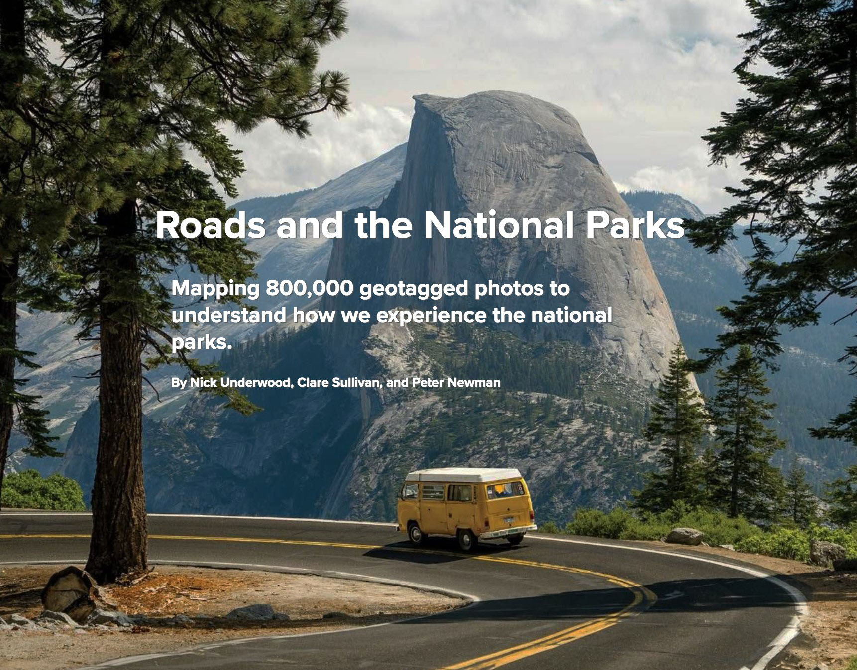
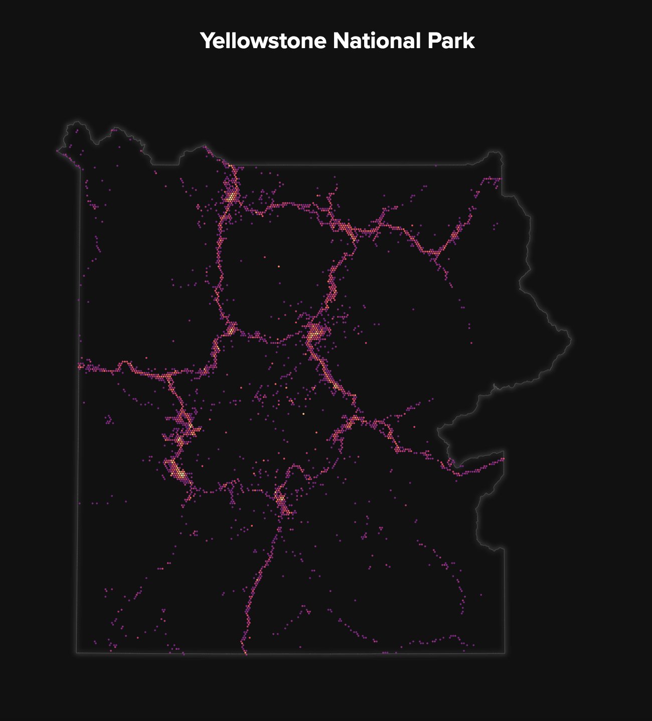
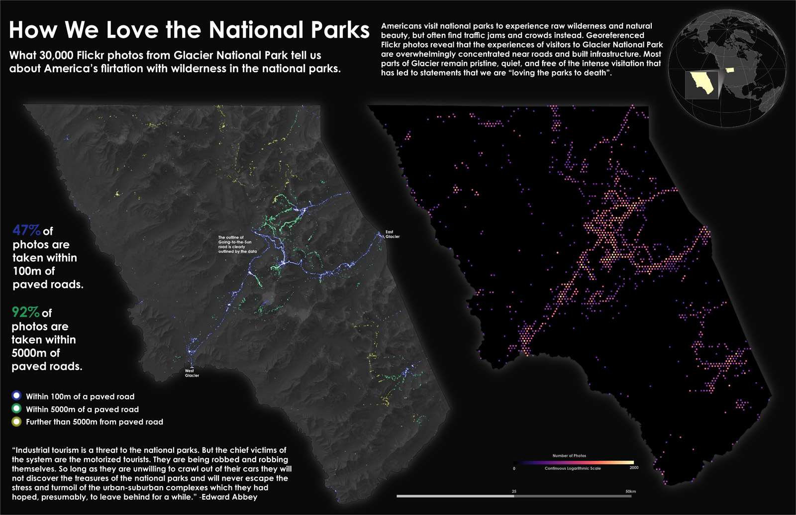
Do most park visitors experience wilderness? As a final project for UW-Madison's Interactive Cartography & Geoviz class, I used the Flickr API to get 800,000 geotagged photos taken in US national parks, then mapped how far from roads they were taken with my classmates Clare Sullivan and Peter Newman:
Tools: Observable, D3, SVG Crowbar, Adobe Illustrator


